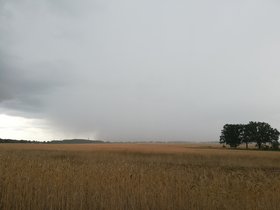
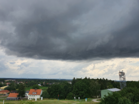
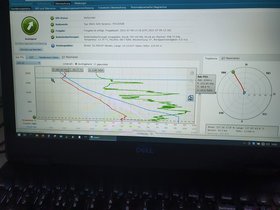
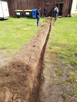
After 15 weeks of measurement experiments, the temporarily operated systems such as the approx. 100 autonomous weather stations, the temporary supersite Birkholz and the citizen measurement network were dismantled on August 27.
During the campaign, phenomena connected to all of the FESSTVaL thematic focal points (cold pools, gusts of wind, convective structures) could be observed and extensive data sets were recorded. In total, we were able to record over 50 potential cold pool events, to measure a number of prominent events associated with different types of wind gusts, and to observe convective structures through the five Doppler lidar systems in different measurement configurations. Thanks to the great support of the population around Lindenberg, lots of additional data could be obtained from the temporary MESSI citizen measurement network.
In the upcoming weeks and months, the documentation of the measurements will be completed and a review and quality control of the data sets will be carried out by the participating institutions. Here, the data workshop in November at MOL-RAO will play an important role. Also, further scientific analyses and corresponding results will be published and highlighted on this website.
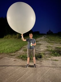
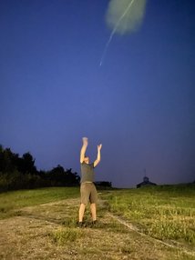
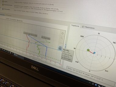
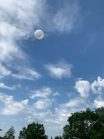
In the fourteenth week of the measurement experiment, there were two nice weather extremes to be observed. At the beginning of the week, a storm low from Scandinavia reached us, with cold and humid air. It brought numerous heavy wind gusts with it. We were able to record these in our data set with additional radiosondes.
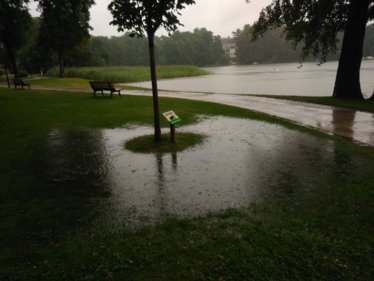
At the weekend, a low pressure area followed, which brought a large amount of rain with it from Saturday evening: 65 mm fell in 14 hours. This heavy rain led to numerous minor floods in the region and significant puddling.
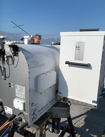
In addition to the weather phenomena, the focus was once again on measuring devices: two MRWs were calibrated on Wednesday. Now comes the last full week of the campaign. The preparations for the dismantling of the measuring installations are already in progress.
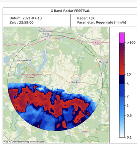
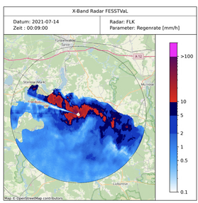
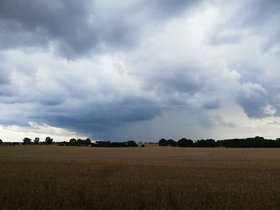
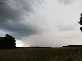
Week number thirteen of the FESSTVaL campaign was not as unlucky as the number might suggest. We have measured two impressive cold pools at the beginning of the week. Both were poorly forecasted by numerical weather prediction models and characterized by sharp temperature reductions, the onset of rainfall, and an increase in near surface wind speed. Cold pool ‚Frank‘ on Monday and ‚Stephanie‘ on Tuesday came to the FESSTVaL site in the late
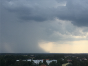
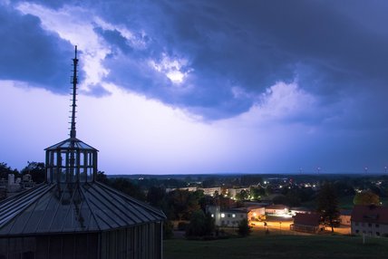
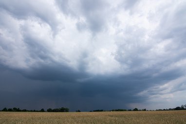
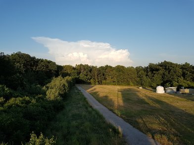
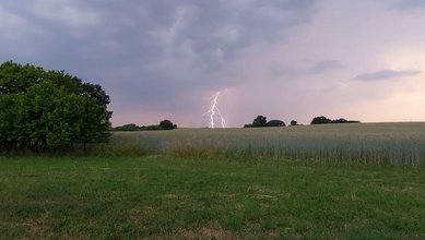
evening around 22:00 local time. The event on Tuesday initially approached us directly from the West and turned slightly northward just before entering the measurement network of FESSTVaL.We witnessed lightning and a beautiful anvil of the system shown below.
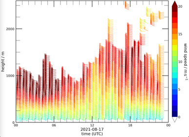
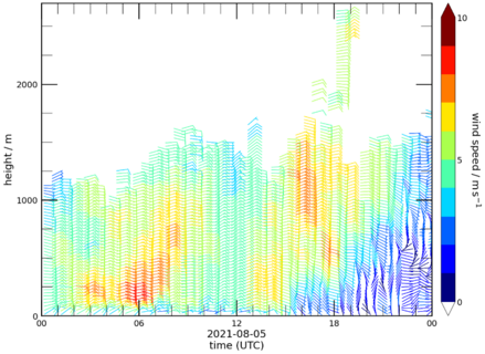
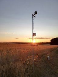
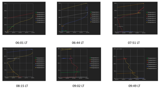
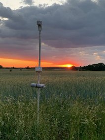
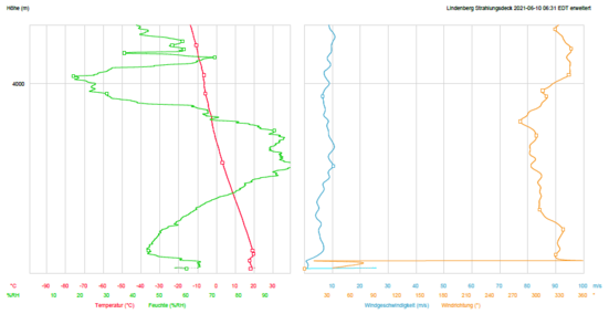
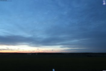
The rest of the week was comparably calm, dry, and warm due to a semi-stationary high pressure system that determined the local weather conditions. Largely cloud-free conditions led to ideal conditions for the development of a stably stratified nocturnal boundary layer in two consecutive nights, monitored with additional radiosonde launches around 21 and 03 UTC. The surface inversion in the first night was unusually strong for this time of the year. We have seen nocturnal low-level jets, although with relatively low wind speeds in their jet core due to the weak horizontal pressure gradient. Increased aerosol burden towards the end of the week caused scenic sunsets (see below). It has also allowed to take interesting daytime measurements of the aerosol optical depth with a new sunphotometer acquired by UoC that will be compared to the instruments installed at the radiation centre of DWD in Lindenberg. Even Friday the 13th of this week therefore was a lucky day with interesting weather and an aerosol plume passing the site - a great end just before a calm, sunny, and warm summer weekend.
At the end of July, a few days lined up that were meteorologically, from FESSTVaL's point of view, rather unspectacular. The weather was mostly calm, with loose to closed cloud cover and moderate wind speeds. From time to time there was hope of showers and thunderstorms, but these were not fulfilled in the area of the experiment. A few nice cloud formations were still to be observed, especially when the cold front "Ferdinand" approached on the weekend of July 31st. It also brought some showers with it.
The Doppler Lidar comparison setup was switched to gust mode in week 11. The parallel measurements are intended to ensure the quality of the data recorded with the various devices. A total of eight lidars from different manufacturers or types are currently running side by side. In week 12 they were put back into the planned initial measurement mode, but all are still in Falkenberg. The return to its original place with the formation of the "measuring triangle" at the supersites is planned for Tuesday next week.
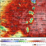
The 12th week of the measurement experiment was then a week full of false alarms and without heavy precipitation in Lindenberg. The rain persistently evaded the region, even when a front ran through. As a result, the region was affected by some heavy rain showers indirectly, as they at least had an effect on the temperature at our measuring locations.
However, two nocturnal low-level jet events were interesting: one in connection with a cold pool and another with nocturnal temperature inversion. In addition, Sunday (8 August) was relatively interesting for the gust enthusiasts, with winds over 10 m/s at a height of 10 m.
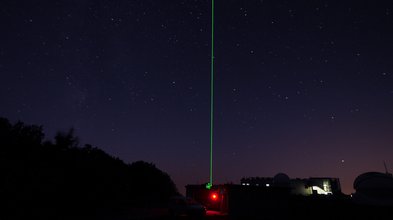
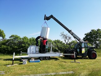
In week 10 of the measuring experiment, a few changes were made to the measuring instrument structure. The Raman Lidar of our partners from KIT was operated for a few more days, pictorial impressions below, and then dismantled on Friday so that it can travel to new missions (a video of the dismantling can be seen here).
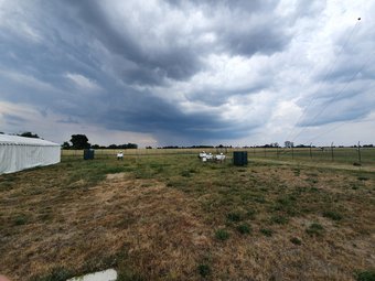
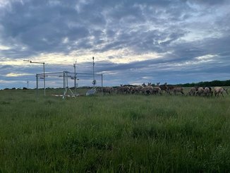
Our lidars were brought together in Falkenberg on Wednesday. Here they will carry out a series of comparative measurements in the coming days. Different measurement modes are run at the same time and the results are compared with one another. Accordingly, there is now a small FESSTVaL flock of sheep on this supersite ...
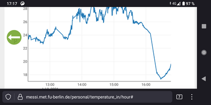
Storms were expected on Sunday, so additional radiosonde ascents were planned and carried out: before and after the thunderstorm passed (around 4 p.m. local time). Large convective cells developed south of Lindenberg and shifted to the north. This created a strong cold pool that was captured by our devices in Lindenberg and Falkenberg. There was a temperature drop of approx. 10 K accompanied by precipitation between 2.5 and 4.5 mm.
According to the first forecasts, week 9 promised to be an exciting one. Monday started with summery weather and harmless cumulus clouds. In the course of Tuesday evening, however, a thunderstorm front was brewing southeast of the campaign region. The on-site researchers on duty got ready for a long night. Radiosonde launches occurred at 20:45 and 22:45 UTC. - because in between there was a thunderstorm impact exactly over our measuring devices at the MOL-RAO and in the vicinity. Jackpot!
Additional radiosondes were also launched on Thursday and Saturday. The thunderstorm cells passed through the nearby area of Lindenberg.
Even when the SOP is over, the hunt for cold pools continues, and the turbulence and wind characteristics can also be precisely measured with the permanently operated measuring equipment on the supersites. It's great that we can continue hunting for a few more weeks.
The first Cold Pool, who made it entirely to our measuring area, occurred on Tuesday, 29.06. Suitable for the last game of German men's footballers, it was grumbling and rumoring in the early evening over Lindenberg and Falkenberg. Of course, the FESSTVaL team has more eyes for turbulence and cold air outflows, and launched radiosondes and drones to detect the event as well as possible. Below are a pair of impressions thereof. By the way: The name of this impressive cold pool is "Jogi" ...
The following two days were rainy and gray. But fortunately, on the last day of the SOP (02 July) some more flights could once again be carried out with drones and UAS.
At the beginning of week 8 there was again drizzle. On Monday afternoon, however, hope germined on smaller cold pools. However, they deceased even before they reached the FESSTVaL area - almost a cemetery of the Cold Pools. The next days followed with rain and gray in gray, until Friday (09 July), several cold pools, accompanied by hail and exciting turbulence, moved over the region. Once again, radiosondes could be started and the data treasure will now be spotted.
A brief note: During the measurements at the end of June, a television team was also on site and accompanied us several days. The result was to see in the Tagesthemen on 08 July, and can be found here: Auf der Suche nach Blitz und Donner
Week three of the SOP was volatile. At the beginning it was hot and sticky with a tendency to thunderstorms, in the meantime heavy precipitation was to be expected. In the course of the week it cooled down a bit and there was also thick cloud cover with almost no wind.
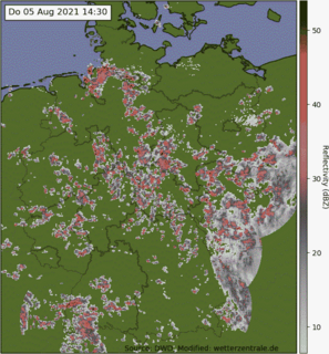
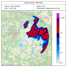
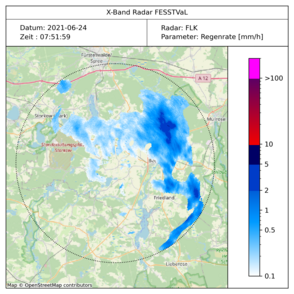
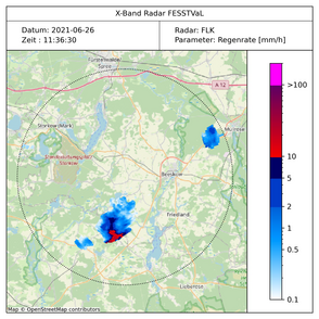
We had some hope to catch several rain showers, and thus generaie interesting cold pool measurement data. However, we should have listened to the experience of the locals: An elderly lady commented on the repair of an APOLLO station with the statement "Oh well, you know - it's not worth it! It's never raining here - it always passes us by!". She should be right ... (see radar image below).
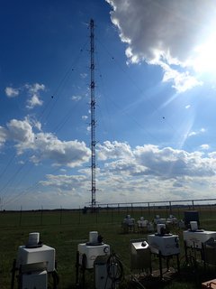
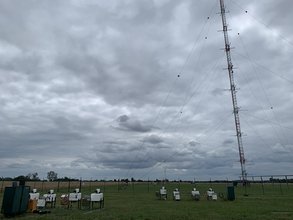
Nevertheless, there was a lot going on with measurement activities in Falkenberg and the surrounding area: During the week, DLR carried out a total of 48 measurement flights, each with up to 20 UAS per flight. There were also numerous calibration flights on the 99 m high reference mast in Falkenberg. Impressions and quick looks below.
The second week of the SOP started with a blue sky and no rainfall in sight. In the next few days it got warmer, up to very hot days on weekends. This raised the hope for Cold Pools and interesting atmospheric turbulence.
In particular, Saturday, 19 June, was of great interest: there were supplementary radiosonde ascents carried out and early in the morning the partners of the University of Tübingen flew with their UAS and quadrocopters to measure the structure of the lower atmosphere. And yes, there were thunderstorms - visible in the distance. Also on Sunday individual rain showers and thunderstorms occured in the region. With air temperatures of about 35 ° C, the moist-warm unstable tropical air made more radiosonde ascents interesting. However, the rain in Lindenberg remained absent.
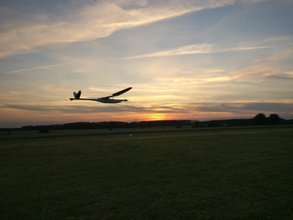
On the picture below you see a UAS flyiing during a picturesque sunset. Unfortunately, a few flights late it came to a first more serious incident - the plane crashed. Unfortunately it was damaged, hull and wing did not survive the crash intact. But first of all important: no one has come to hurt. Troubleshooting is complete and the problem is found, the repair is running. Fortunately, there is a spare plane so that measurement flights can still be flown.
The "SOP" of the experiment started on June 7th, 2021. SOP is the acronym for "special observation period", i.e. a time with numerous and special measurements. In FESSTVaL this means, among other things, that our external partners are on site:controlled by them UAS (Unmanned Aircraft System) and quadcopters fly vertical profiles and thus provide data on the structure of the lower atmosphere. Additional radiosondes are being launched for the areas above
At the beginning of the week, the weather conditions were primarily summery and characterized by a stable high. On Thursday (June 10th) the first three flights with the UAS of the University of Tübingen took place, as well as extraordinary radiosonde ascents. On Saturday (June 12th) there was a cold front passage with heavy cloud cover and rain. This is recorded in a time-lapse video (see below).
In addition: Our measurements for thunderstorm research were reported in a prominent position on TV on Friday. ZDF Wetter broadcasted a short clip after the weather report, which can be seen here.
The first weeks of the experiment are now over. In some places there is still a need to have hands on, such as in the setup of the X-band radar, or in the fine adjustment of the lidars and other measuring systems.
But all in all, the measurements are already well pleasing. If you want to take a look at the current data, you can do this under "Quick Views". These are steadily updated.
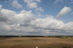
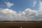
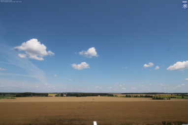
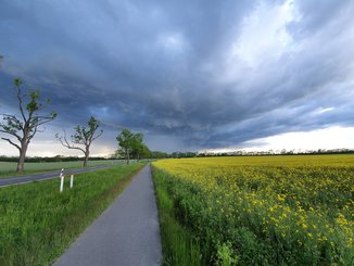
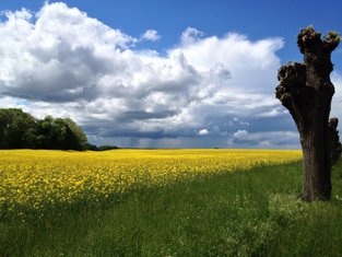
The weather was largely friendly in the first week of June, which was caused by a stable high over Scandinavia. However, this also meant that cold pools were rarely expected. The thunderstorms in the west and the middle of Germany did not reach the experiment area. Instead, there was a daily beautiful blue sky, as the picture impressions convey below.
In the last May week, however, several cold pools went to the data network as numerous showers drifted over the region. And even if this weather is rather little typical of late May, the researcher's heart jumped enormously seeing that.
The construction of the X-band radar in Falkenberg was completed on 3 June. Thus, we now also have high-resolution information about the precipitation at our Supersites and weather stations.
The FESSTVaL campaign started successfully on Monday, May 17, 2021. We are very much looking forward to the next three months and are curious to see what data we will receive.
In the past few weeks, a lot of muscle power and logistical effort has been put into installing the measuring instruments. But it was worth it, because the setup is almost complete. The supersites Lindenberg, Falkenberg (both DWD) and Birkholz (Gut Hirschaue) are equipped with numerous instruments for ground-level and remote sensing of the lower atmosphere.
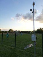
In addition, about 100 weather stations (APOLLOs and WXTs) are in operation on the roadsides in the Oder-Spree and Dahme-Spreewald districts to measure what is happening this summer before, during and after thunderstorms occur in the atmosphere close to the ground.
Current measurement data can be found on our website, for example
- an overview of the DWD devices at the MOL-RAO in Lindenberg and Falkenberg
- the measuring devices of the Supersite Birkholz
- the microwave radiometer
In the course of the next few days, these quick views will be expanded to include the current measurement data.
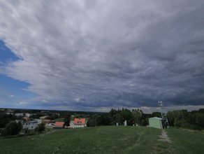
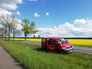
A few first impressions of the region and the start of the campaign are given in the pictures on the right and below.

